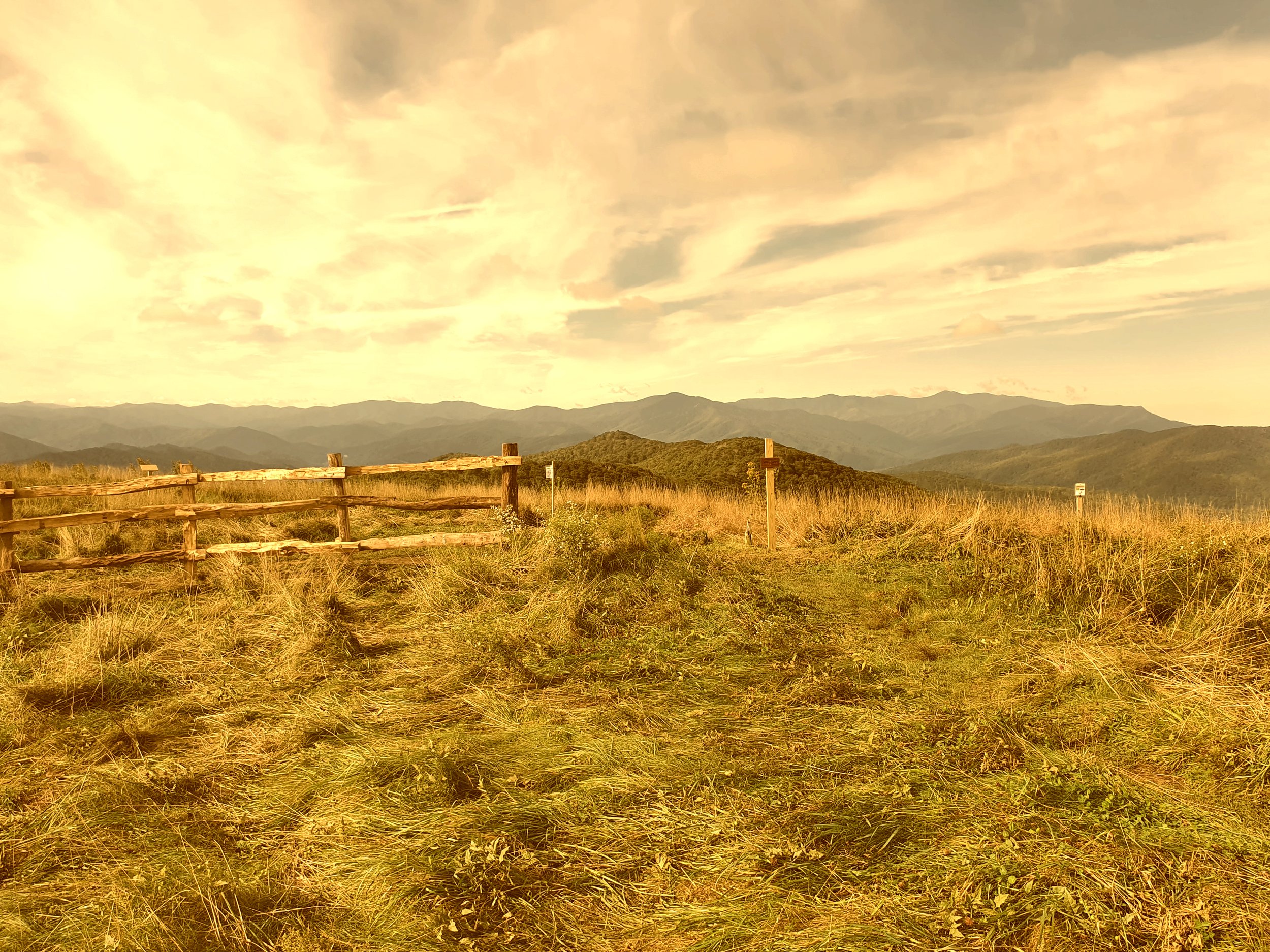
Max Patch is accessible through a 1.5 mile loop trail. The mountain road to the parking lot is narrow and safest when taken slowly in a four-wheel drive vehicle. Parking is limited and the closest bathrooms are 20 minutes away at Harmon Den Horse Camp, so plan accordingly. To avoid overcrowding, carpool when possible and consider visiting during less busy hours (such as weekdays).

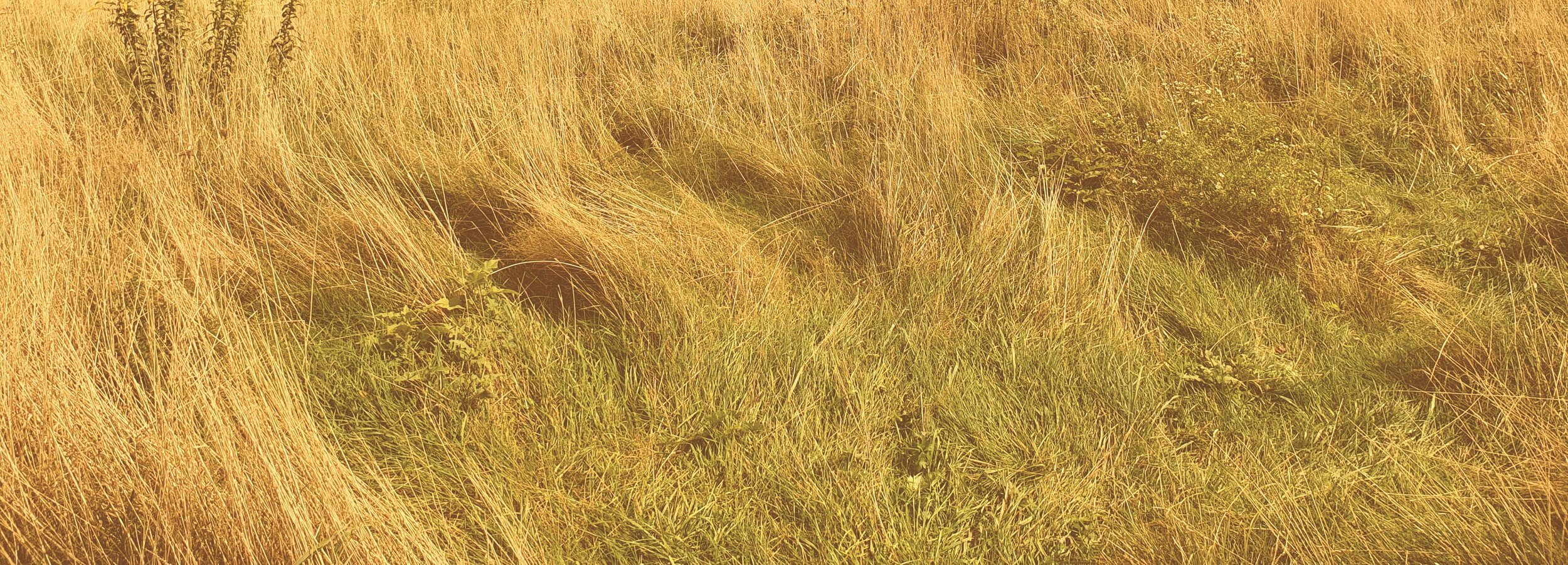
Max Patch is a grassy bald - an ecosystem unique to the Southern Appalachian mountains. As such, it is home to many sensitive species of plants and wildlife. Do your part to help preserve this beautiful area by hiking only on the designated trail (not the visitor-created shortcuts that disrupt habitat) and following the seven principles of Leave No Trace:
1.) Plan ahead and prepare.
2.) Travel and camp on durable surfaces.*
3.) Dispose of waste properly.
4.) Leave what you find.
5.) Minimize campfire impacts.*
6.) Respect wildlife.
7.) Be considerate of other visitors.
Max Patch is currently subject to a set of closures (listed below) designed to help protect human health and safety as well as the environment.
Forest Service Closure Map (USFS)
*Max Patch is currently closed to overnight camping. The area opens one hour before sunrise and closes one after hour sundown.
In addition to the current camping closure, Max Patch is also subject to all general forest orders applicable to the National Forests in North Carolina. The following activities are prohibited:
Possessing, parking or leaving more than two vehicles, except motorcycles per designated camping unit.
Being publicly nude.
Possessing or storing any food or refuse in a manner that makes it accessible to wildlife.
Possessing a beverage which is defined as an alcoholic beverage by State Law, by any person under 21 years of age.
Shortcutting a switchback in a trail.
Operating or using any internal or external combustion engine without a spark arresting device properly installed, maintained and in effective working order in accordance with U.S. Forest Service standards 5100-1.
Possessing, storing or transporting any part of a marijuana plant.
Please remember to respect all signs and regulations for the sake of native wildlife, plants and your fellow visitors. (Robert Campbell)
Map of the Max Patch area (USFS)
The following acts or omissions are prohibited within those areas identified by the Motor Vehicle Use Map (MVUM) as being designated for motor vehicle use:
8. Using a Forest System Road for commercial hauling without a permit or written authorization.
9. Operating a vehicle in violation of State Law.
10. Operating a vehicle carelessly, recklessly or without regard for the rights or safety of other persons or in a manner or at a speed that would endanger or be likely to endanger any person or property.
11. Operating a vehicle on a Forest System Road in excess of posted speed limits.
12. Operating a motorized vehicle on a Forest System Road without a valid State issued driver’s license or operator’s license.
13. Operating a motorized vehicle on a Forest System Road which does not display valid license plates and/or is not properly registered and insured.
14. Operating a motorized vehicle on a Forest System Road without proper and workable safety equipment to include the wearing of seat belt restraints.
15. Failure to display a valid driver’s license or operator’s license by any person operating or in charge of a motor vehicle upon the lawful request of any authorized Forest Officer.
16. Operating a vehicle on a Forest System Road while under the influence of intoxicating alcoholic beverages (as defined by State Law) or drugs.
Pursuant to 36 CFR, Section 261.50 (e), the following persons or areas are exempt from this Order:
Persons with a special use permit or contract specifically authorizing the otherwise prohibited act or omission issued by any authorized Forest Service Official.
Any Federal, State or local officer, or member of an organized rescue or firefighting force in the performance of an official duty.
Ways to Enjoy Match Pax Without Leaving Damage
Here are some ideas for how to enjoy your time at Max Patch without damaging the local ecosystem:
Bring supplies for a picnic and enjoy a scenic lunch with friends or family (while being sure not to leave any trash behind).
Have a pair of binoculars handy to keep a lookout for one of the region’s many beautiful native bird species, such as the golden-winged warbler and northern bobwhite quail.
Download an app such as PictureThis or iNaturalist to help you identify some of Max Patch’s plants.
On a clear day, you can catch a glimpse of both the highest point in Tennessee (Clingman’s Dome) and North Carolina (Mount Mitchell). Try to identify both peaks and see if you can view them from the same spot.
Using a smartphone, take a panoramic photo of the 360° view on the summit.
On colder days, bring blankets and some coffee or hot cocoa to sit and enjoy the sunrise/sunset.
Bring kites to fly on the mountain’s summit.
Feeling adventurous? The loop trail to Max Patch’s summit connects to the famous Appalachian Trail. Turn your quick hike into a day trip by exploring the AT. The 5.4 mile Buckeye Ridge Trail can also be reached from Max Patch.
For more hiking, you can also continue on State Rd 1175 past Max Patch for another 3.6 miles to Lemon Gap, which leads to nearby Walnut Mountain and Bluff Mountain on the Appalachian Trail.


